Vision
Optical
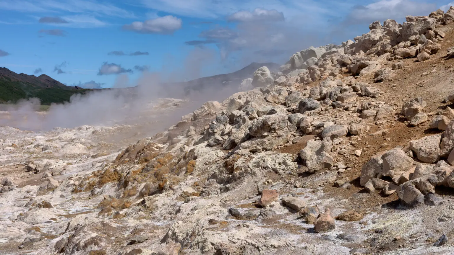
High-resolution RGB captures visual change over time for comparative analysis.

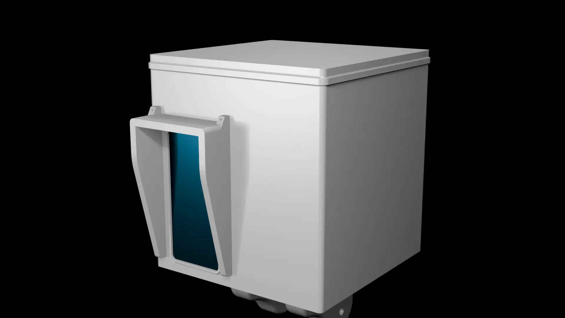
Cascade gives operators the ability to view the terrain they work on in a new, data rich way. Our network of easy to deploy sensors collect a wide range of data that is then processed through propriatary AI and physics models. This is then all presented through an intuitive UI with a wealth of features. Prediction geohazards, maintaining assests, preparing for an autonomous future and more all become possible with Cascade.
<- Click on the left for a demo
Cascade's sensors boxes come with a wide range of sensors, both optical (like LiDAR and Thermal) and geographical (like dew point and seismometers). It is constantly scanning, guranteeing real time data and a massive archive of data. The sensor boxes are easy to deploy and create a network that covers the whole terrain.
Scanning Uptime
24/7
FOV Of Scans
360°
Scanning Range
300m
Vision
High-resolution RGB captures visual change over time for comparative analysis.
Vision
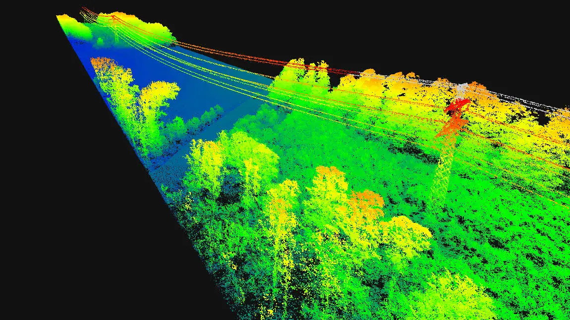
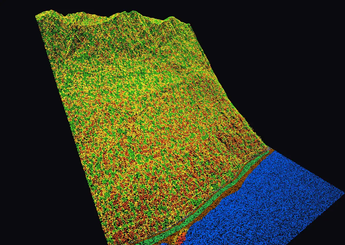
Millimetre-accurate 3D point clouds detect subtle ground movement before it becomes critical.
Vision
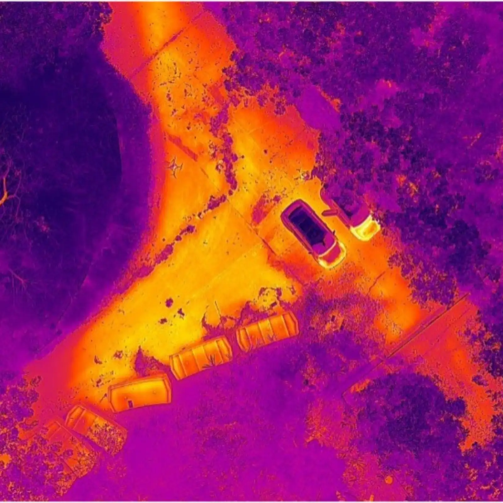
Infrared imaging reveals subsurface heat signatures invisible to the naked eye.
Features
and more
Decide if this is right for you with a quick 20 min call.
 Contact Us